
OceanRiver
Newburyport
Where the Merrimack River meets the sea, with Plum Island across the marsh.
Search link · last checked Nov 14, 2026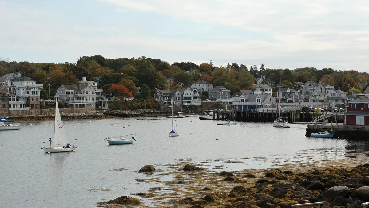
Ocean, river and lake. A quiet list of towns along the water, each with a link to the homes for sale there today.
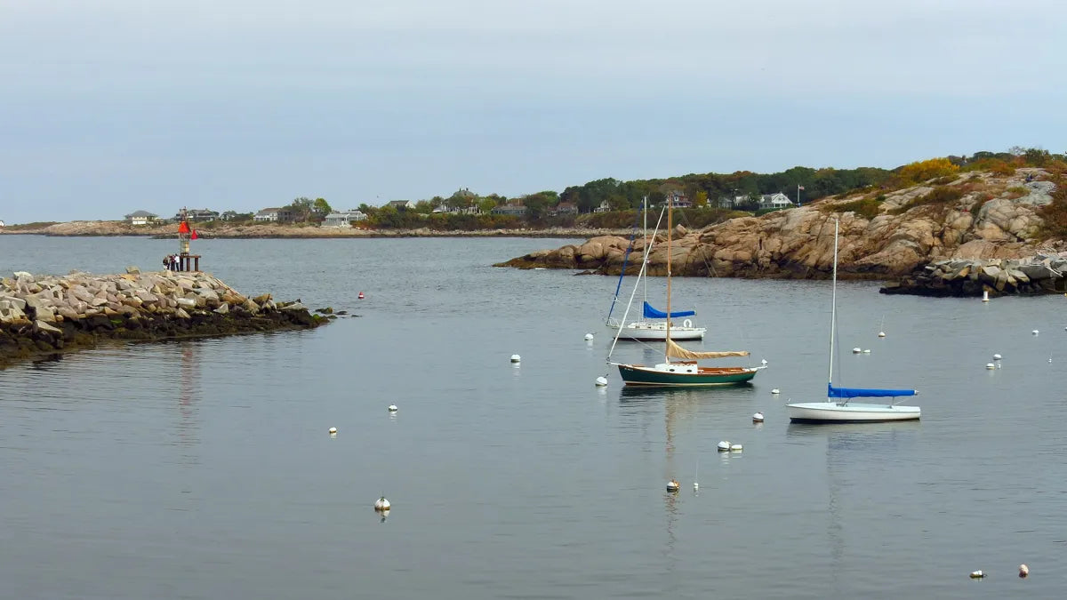
Cape Ann, the Merrimack mouth and the rocky coast north of Boston.
Where the Merrimack River meets the sea, with Plum Island across the marsh.
Search link · last checked Nov 14, 2026The Ipswich River, wide salt marsh and the dunes of Crane Beach.
Search link · last checked Nov 14, 2026The tidal Essex River winding through open marsh.
Search link · last checked Nov 14, 2026A working harbor, the Annisquam River and open Atlantic shore.
Search link · last checked Nov 14, 2026Granite shoreline and small harbors at the tip of Cape Ann.
Search link · last checked Nov 14, 2026A harbor town on a rocky peninsula.
Search link · last checked Nov 14, 2026Sandy beaches facing Nahant Bay.
Search link · last checked Nov 14, 2026A small peninsula joined to the mainland by a long causeway beach.
Search link · last checked Nov 14, 2026The Merrimack and Powwow rivers and Lake Attitash.
Search link · last checked Nov 14, 2026Whole county: Essex County waterfront homes on Zillow ↗
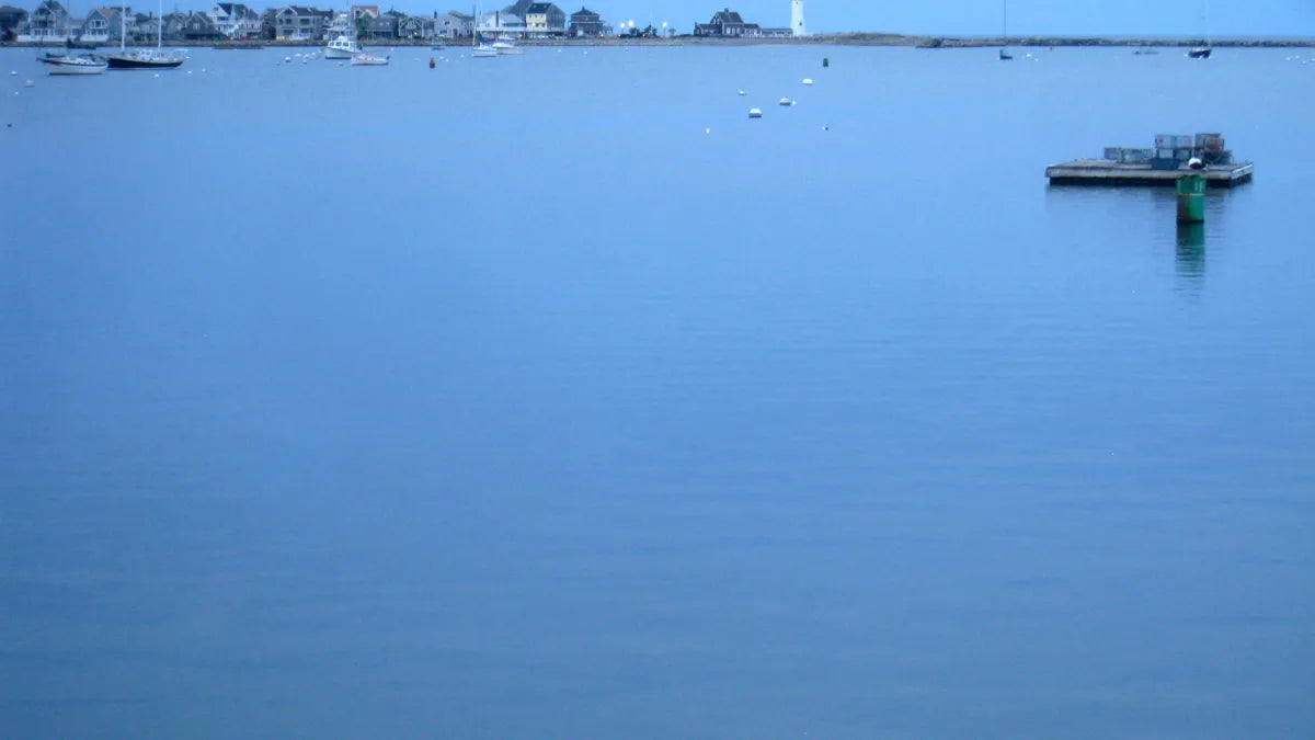
Harbors, barrier beaches and quiet tidal rivers south of Boston.
A narrow peninsula: Nantasket Beach on one side, Boston Harbor on the other.
Search link · last checked Nov 14, 2026Rocky coast and a small, sheltered harbor.
Search link · last checked Nov 14, 2026A harbor, long beaches and the North River marshes.
Search link · last checked Nov 14, 2026Beaches, Green Harbor and the North and South rivers.
Search link · last checked Nov 14, 2026Duxbury Bay and a long barrier beach.
Search link · last checked Nov 14, 2026A long coastline, and hundreds of freshwater ponds inland.
Search link · last checked Nov 14, 2026Wooded banks along the North River.
Search link · last checked Nov 14, 2026Whole county: Plymouth County waterfront homes on Zillow ↗
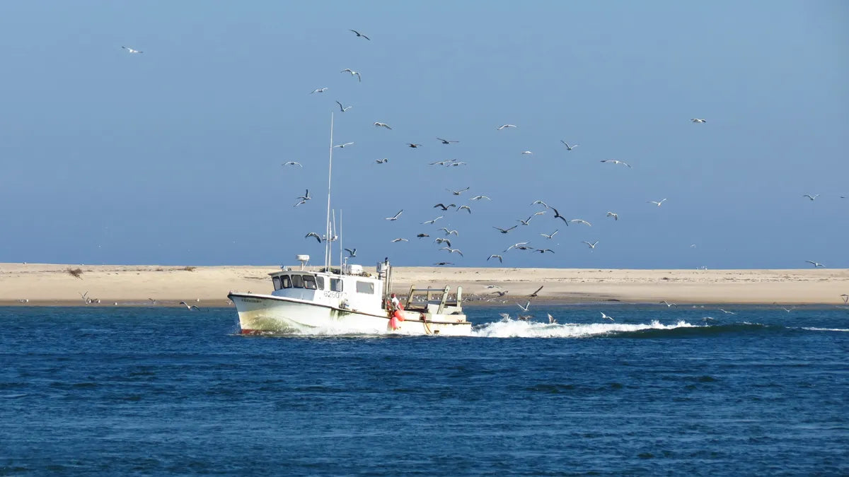
Bay side, sound side, outer beaches — and freshwater kettle ponds in between.
Shore on Buzzards Bay and Vineyard Sound, with many salt ponds.
Search link · last checked Nov 14, 2026Harbors on both coasts, from Cotuit to Barnstable Harbor, and inland ponds.
Search link · last checked Nov 14, 2026Wide Cape Cod Bay tidal flats and freshwater kettle ponds.
Search link · last checked Nov 14, 2026The elbow of the Cape: harbor, sound and outer beaches.
Search link · last checked Nov 14, 2026Pleasant Bay, Town Cove and Nauset Beach.
Search link · last checked Nov 14, 2026Bay side and ocean side, with freshwater ponds in the woods.
Search link · last checked Nov 14, 2026The curled tip of the Cape, with harbor and dune shore.
Search link · last checked Nov 14, 2026An island of harbors, open beaches and freshwater ponds.
Search link · last checked Nov 14, 2026Harbor town on Martha's Vineyard, facing Chappaquiddick.
Search link · last checked Nov 14, 2026Whole county: Barnstable County waterfront homes on Zillow ↗
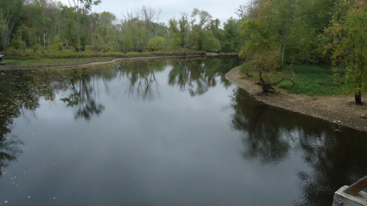
The Charles, the Concord, the Neponset and the Mystic — river towns within reach of the city.
The Charles River loops along the city's western edge.
Search link · last checked Nov 14, 2026The Charles River runs through downtown, with a riverwalk.
Search link · last checked Nov 14, 2026Riverside parks along the Charles.
Search link · last checked Nov 14, 2026The Charles River forms much of the town line.
Search link · last checked Nov 14, 2026The Charles River winds through town in wide bends.
Search link · last checked Nov 14, 2026Where the Sudbury and Assabet rivers join to form the Concord, near Walden Pond.
Search link · last checked Nov 14, 2026The Neponset River and its tidal marshes.
Search link · last checked Nov 14, 2026The Mystic River and the Mystic Lakes.
Search link · last checked Nov 14, 2026Whole county: Middlesex County waterfront homes on Zillow ↗
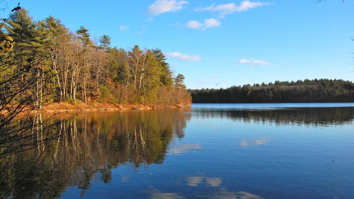
MetroWest, Central Massachusetts and the Berkshires.
Lake Cochituate, a chain of three connected ponds.
Search link · last checked Nov 14, 2026Lake Cochituate and the Sudbury River meadows.
Search link · last checked Nov 14, 2026Lake Massapoag, a spring-fed lake in the middle of town.
Search link · last checked Nov 14, 2026Lake Quinsigamond, a long, narrow lake on the Worcester line.
Search link · last checked Nov 14, 2026Webster Lake, also known by its long Nipmuc name, Chaubunagungamaug.
Search link · last checked Nov 14, 2026Lake Boon and the Assabet River.
Search link · last checked Nov 14, 2026Long Pond and Assawompset Pond, among the largest in the state.
Search link · last checked Nov 14, 2026Onota and Pontoosuc lakes, with the Berkshire hills around them.
Search link · last checked Nov 14, 2026Otis Reservoir, the largest recreational lake fully in Massachusetts.
Search link · last checked Nov 14, 2026Whole county: Worcester County waterfront homes on Zillow ↗
We pick towns by their water — coast, river or lake — and write one plain line about it. Each link opens that town's waterfront search on a public listing site in a new tab, so you always see the homes on the market right now, with the listing agent's own photos and details. We do not copy listings or photos, and we do not track who you contact.
Wherever home is, a quiet corner helps. A few places in our shop to start.
Photos of Massachusetts waters from Wikimedia Commons: Rockport Harbour, Massachusetts (493894) (11689924434).jpg by Robert Linsdell from St. Andrews, Canada (CC BY 2.0) · Rockport Harbour, Massachusetts (493895) (11690378226).jpg by Robert Linsdell from St. Andrews, Canada (CC BY 2.0) · Harbor, Scituate, MA - IMG 6774.JPG by Daderot (Public domain) · Chatham Beach, Massachusetts. - panoramio (7).jpg by Bob Linsdell (CC BY 3.0) · Concord Massachusetts Concord River as seen from bridge.JPG by Tomwsulcer (CC0) · Walden Pond, 2010.jpg by ptwo from Allahabad, India (CC BY 2.0). Photos are of places, not of the homes for sale.